Stanhope Parish Council is the largest in England with an area of 85 square miles and has a population of 4581 at the last census in 2011. There are 2421 properties in Stanhope Parish.
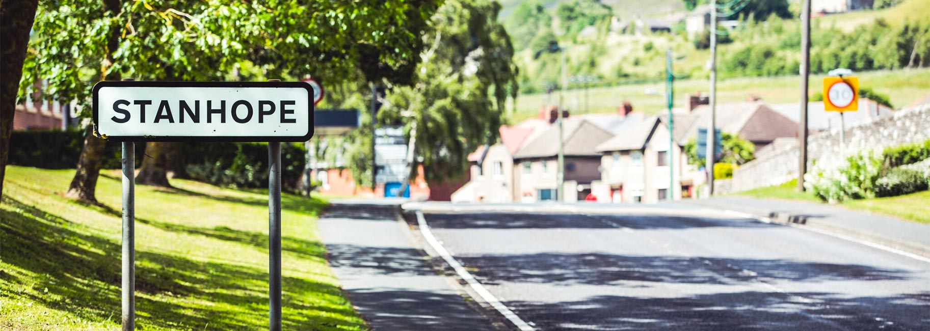
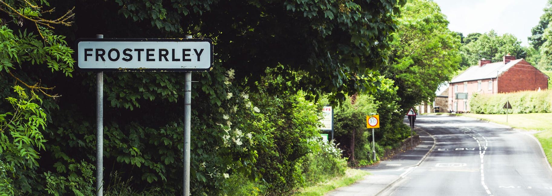
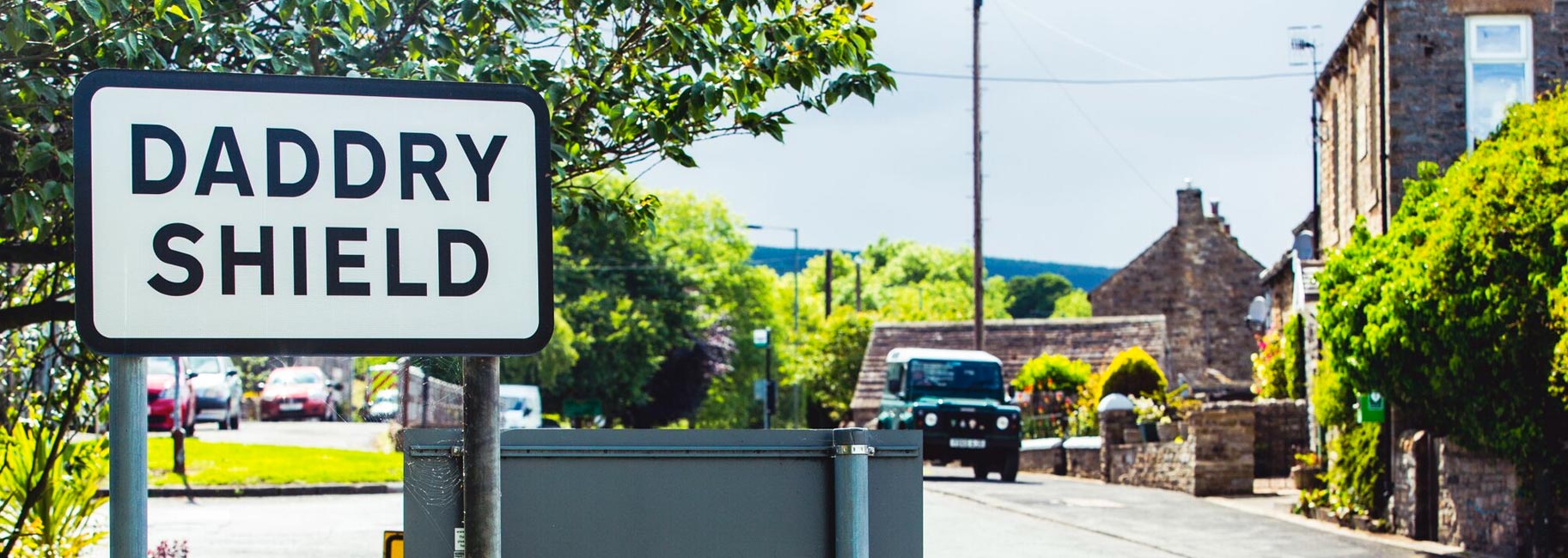
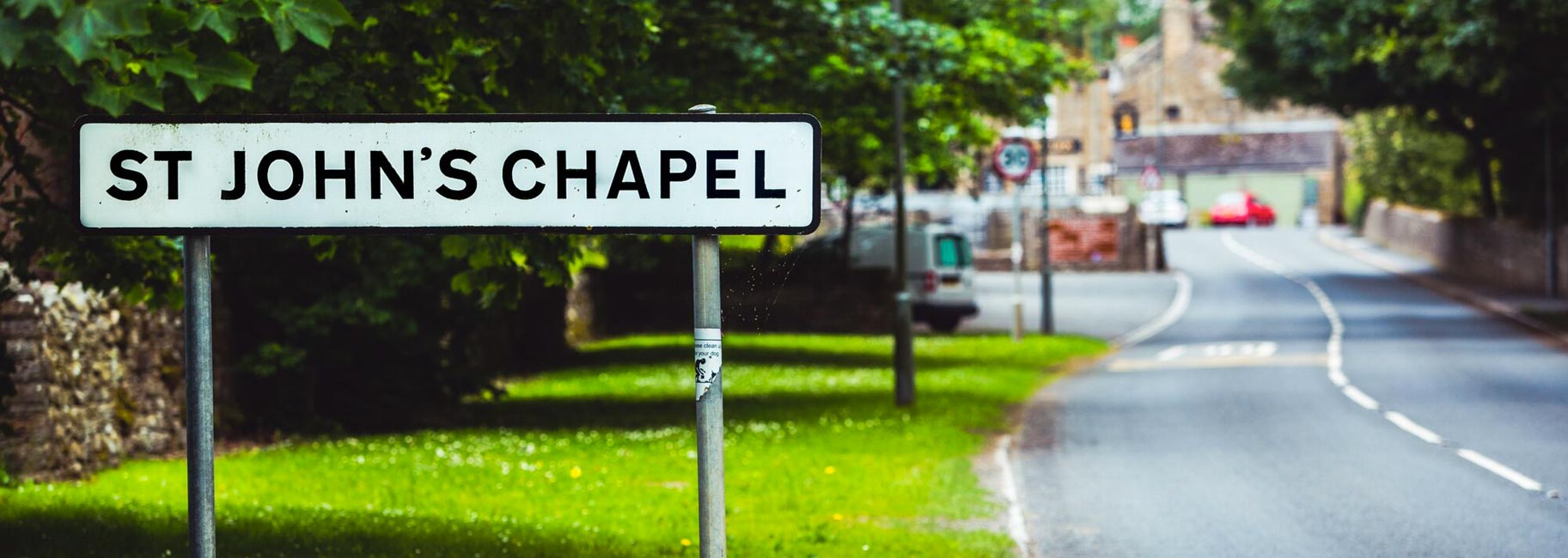
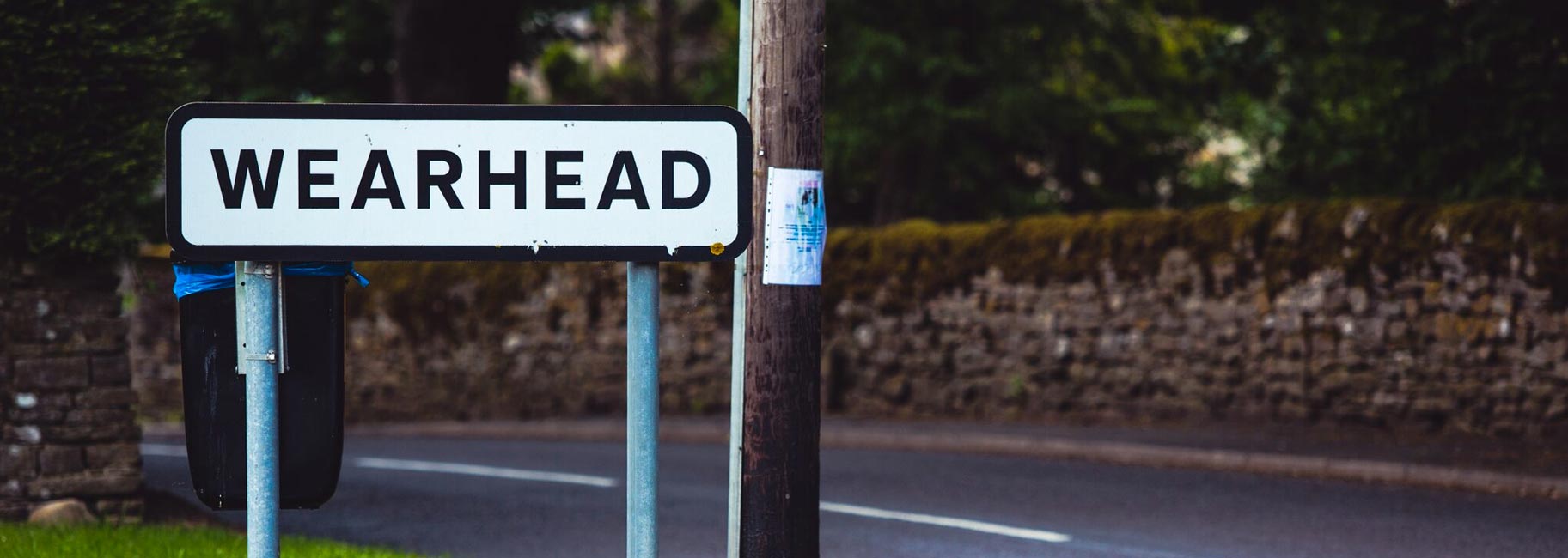
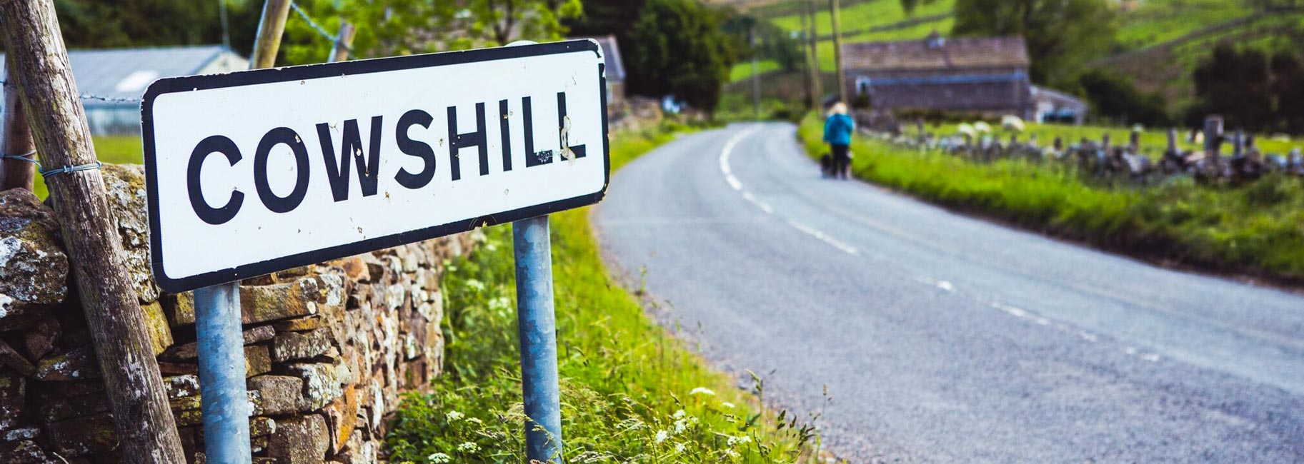
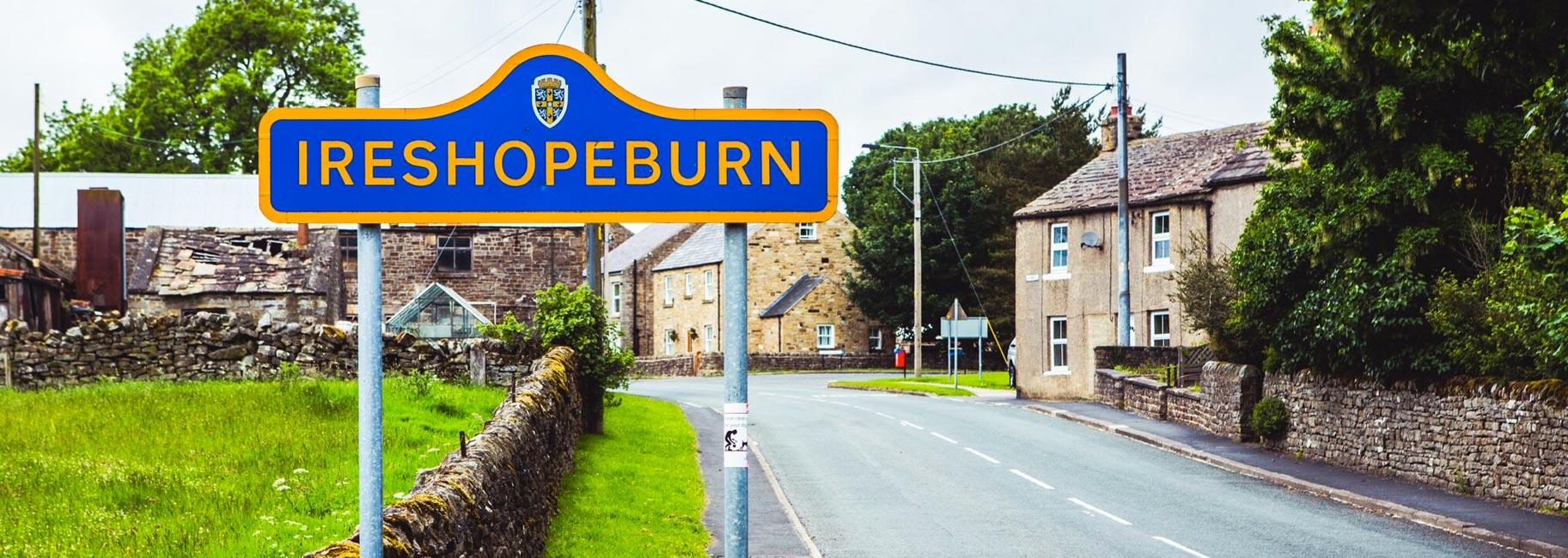
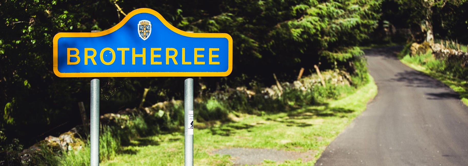
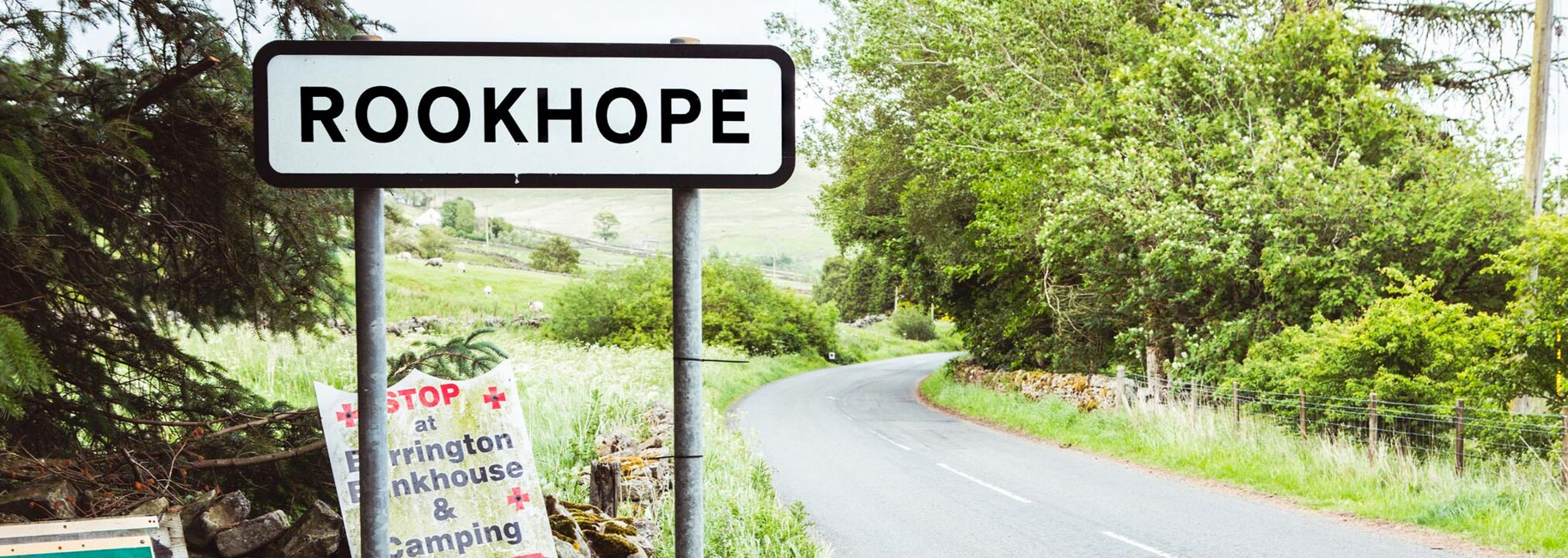
Stanhope Parish is situated at the heart of Weardale, most of the Parish is in the North Pennine Area of Outstanding Natural Beauty (ANOB). The Parish starts at Frosterley and travels right up Weardale to Killhope.
We have a Community Highways Worker in joint partnership with Durham County Council.
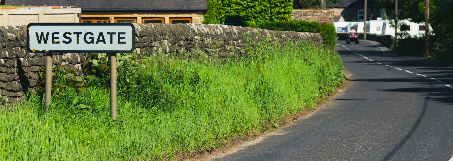
We managed to save the street lights at Westgate with the help of the residents and the County Councillors. Also the street lights up the dale were saved by the Parish Council taking a ten year renewal agreement on.
Any matters arising can be brought to the attention of the clerk who will report it at the next Parish Council meeting or to any councillor. The meetings are held on the first Wednesday of the month apart from January when there is no meeting.
We are all here to help the residents in our Parish.
Highway maintenance, traffic management, street lighting repairs, refuse collection.